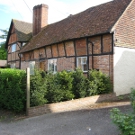
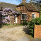
The Crondall Conservation Area was created in 1977 to preserve areas of the village. Later additions merged this into a single contiguous Conservation Area which was most recently reviewed in 2023. This gives it considerable weight in local planning terms.
The Conservation Area encompasses the historic village centre around The Borough, and stretches out along Pankridge Street to the North and Dippenhall Street to the South East. To the South the designated area surrounds the important medieval church of All Saints, and a large village sports field called Hook Meadow. The church and the adjoining village hall provide the community with important facilities, which are supplemented by two public houses and a village shop.
Hart stress that the Conservation Area is not a “preservation area” and hence some sympathetic development is permitted. There is considerable debate in planning circles over the relative merits of a “pastiche” approach to such developments that seek to blend in with the existing and the “bold” schools of architecture which seek to create new styles.
The updated 2023 Conservation Area documentation is below:-
Crondall Conservation Area Appraisal (hart.gov.uk)
CCA Listed Buildings Annex v1.02
This was approved by Hart using their current Article 4 Directions – Article 4 directions amended Feb 19 – Checked